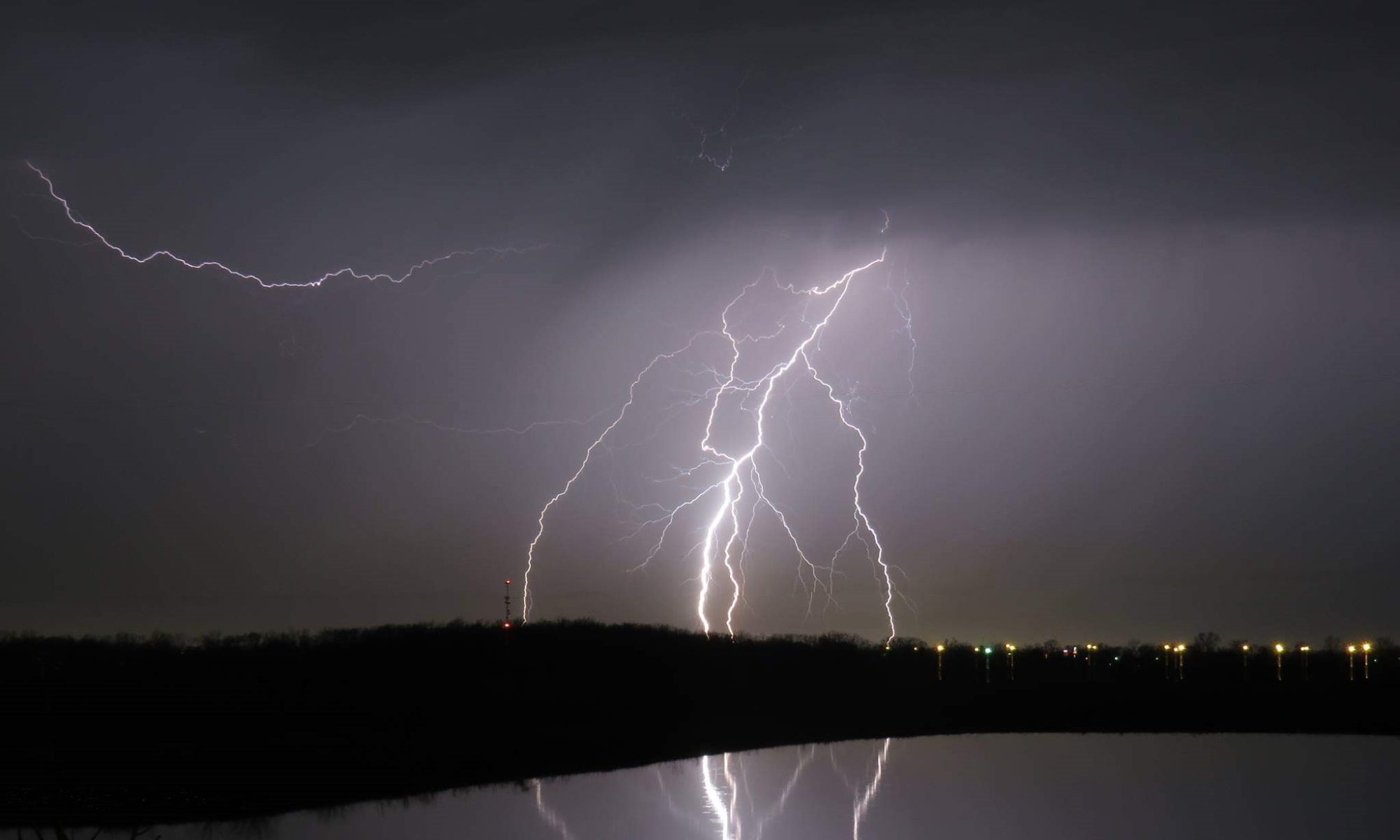
Skip to navigation Skip to content Skip to footer

South Charleston Chasers

Home of all things weather related!

  • Facebook
  • YouTube
  • Email

Post Views: 8,493

Directory

  • Home
  • Media

Recent Posts

  • Wisconsin Chase 06/17/2018
  • Severe Weather Returns!

Facebook Feed

CURRENT WATCHES, WARNINGS AND ADVISORIES FOR OHIO ISSUED BY THE NATIONAL WEATHER SERVICE

  • Flood Warning issued February 18 at 3:49AM EST until February 18 at 7:00PM EST by NWS
    ...The flood warning continues for the following rivers in Ohio.. Muskingum River At Coshocton affecting Coshocton County. .The Muskingum River is expected to fall below flood stage by this afternoon. The River Flood Warning continues for, The Muskingum River At Coshocton.... Read more »
    Source: Current Watches, Warnings and Advisories for Ohio Issued by the National Weather Service
  • Winter Weather Advisory issued February 18 at 12:58AM EST until February 18 at 10:00AM EST by NWS
    ...WINTER WEATHER ADVISORY NOW IN EFFECT UNTIL 10 AM EST THIS MORNING... * WHAT...Snow. Additional snow accumulations of up to one inch will fall through the morning hours. Snow will fall on top of icy surfaces leading to slick conditions. * WHERE...Lake, Geauga, Lorain, Cuyahoga, Ashtabula Inland,... Read more »
    Source: Current Watches, Warnings and Advisories for Ohio Issued by the National Weather Service

Information from the National Weather Service

  • SPC - No watches are valid as of Mon Feb 18 10:23:02 UTC 2019
    No watches are valid as of Mon Feb 18 10:23:02 UTC 2019....
    Source: SPC Forecast Products
  • SPC Feb 18, 2019 Day 4-8 Severe Weather Outlook
    true
    Day 4-8 Outlook Day 4-8 Convective Outlook NWS Storm Prediction Center Norman OK 0356 AM CST Mon Feb 18 2019 Valid 211200Z - 261200Z ...DISCUSSION... Models continue to indicate that blocking will remain prominent within the mid-latitude westerlies across the northeastern Pacific through this period. Downstream, it appears that...
    Source: SPC Forecast Products
  • SPC Feb 18, 2019 0830 UTC Day 3 Severe Thunderstorm Outlook
    true
    SPC 0830Z Day 3 Outlook Day 3 Convective Outlook NWS Storm Prediction Center Norman OK 0217 AM CST Mon Feb 18 2019 Valid 201200Z - 211200Z ...THERE IS A MARGINAL RISK OF SEVERE THUNDERSTORMS INTO THE DAY WEDNESDAY ACROSS PARTS OF SOUTHEASTERN LOUISIANA AND MISSISSIPPI INTO ADJACENT PORTIONS OF...
    Source: SPC Forecast Products
  • SPC Day 2 Fire Weather Outlook
    true
    SPC Day 2 Fire Weather Outlook Day 2 Fire Weather Outlook NWS Storm Prediction Center Norman OK 0156 AM CST Mon Feb 18 2019 Valid 191200Z - 201200Z ...Synopsis... A mid-level shortwave trough will eject into the Central Plains, with a surface low becoming established...
    Source: SPC Forecast Products
  • SPC MD 107
    true
    MD 0107 CONCERNING WINTER MIXED PRECIPITATION FOR NORTHERN NJ...LOWER HUDSON VALLEY...LONG ISLAND...MUCH OF CT Mesoscale Discussion 0107 NWS Storm Prediction Center Norman OK 0127 AM CST Mon Feb 18 2019 Areas affected...Northern NJ...Lower Hudson Valley...Long Island...Much of CT Concerning...Winter mixed precipitation Valid 180727Z - 181130Z SUMMARY...Mixed winter precipitation is...
    Source: SPC Forecast Products
  • SPC Day 1 Fire Weather Outlook
    true
    SPC Day 1 Fire Weather Outlook Day 1 Fire Weather Outlook NWS Storm Prediction Center Norman OK 0122 AM CST Mon Feb 18 2019 Valid 181200Z - 191200Z ...Synopsis... A mid-level trough will deepen across the southwest CONUS, with surface lee troughing commencing along an...
    Source: SPC Forecast Products
  • Facebook
  • YouTube
  • Email
COPYRIGHT 2019 SOUTH CHARLESTON CHASERS